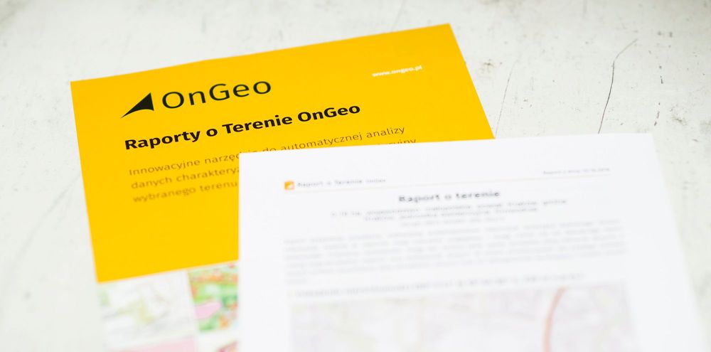
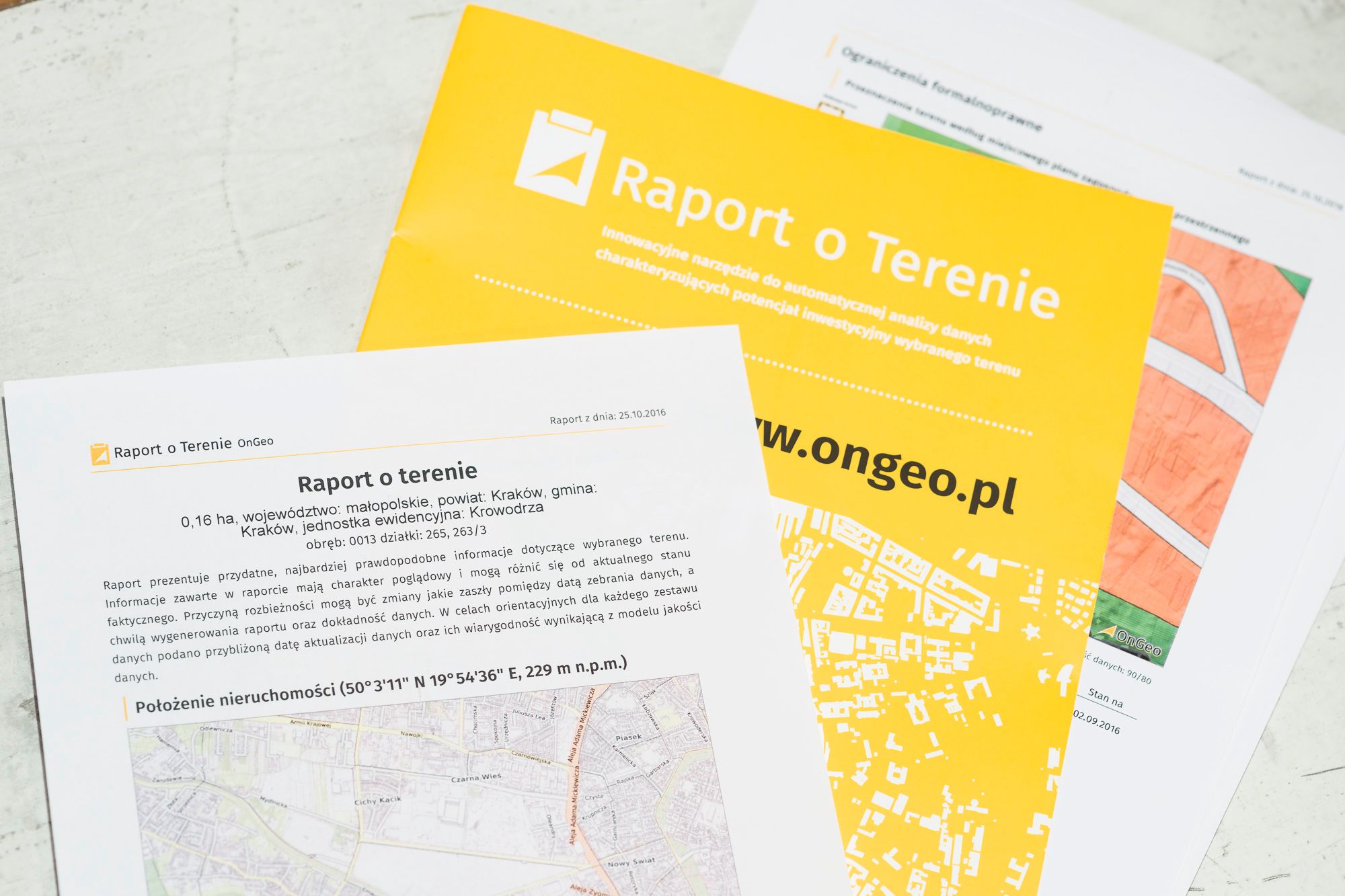
Several dozen versus several hundred Zlotys. Here is the balance of the Real Property Report OnGeo confrontation with traditional data researching and processing information about the properties/real estates. Information obtained from the ongeo.pl is about 10 times cheaper and about 100 times faster than using other traditional techniques. In 5 minutes you can get what requires about 10 hours of work and a week of waiting. Instead of researching hundreds websites and visiting plenty public institutions, you will receive all the information you need in one place. In a very convenient and clear form.
Valuation of the properties investment potential property report

- Individual data preparation such as this in the Property Report OnGeo included requires gathering information deeply rooted in many various sources.
- Property Report OnGeo generates 3 to 5 minutes.
Valuation of the properties investment potential
How is that happening?
Well, the whole very complex, specific and specialized work will be calculated for you by the computer. Ongeo.pl is not only a geoportal for reviewing and visual data analysing although some spatial features of the properties can be analyzed visually. It is a very advanced IT system that will take measurements, calculations on spatial data and prepare maps with summaries. Reports OnGeo offer the highest organizational level of e-services that allow you to obtain multi-sheet complex information with a minimum work of a man. It can not be done easier!
Individual data preparation such as this in the Property Report OnGeo included requires gathering information deeply rooted in many various sources. In fact, this is difficult to achieve. Incurring the unit costs of several hundred PLN, for example for the purchase of a license from the public geodetic and cartographic resources, should be combined with many working hours. A report with similar content, using traditional techniques, can only be made by a person with high geoinformatics qualifications who has all data sets, professional software, as well as knowledge and experience. Assuming that you can collect all relevant data – with a large amount of a work this can be done in a similar way. The averaged total cost including work and waiting time takes even PLN 1000. The waiting time for the report might exceed one week. Property Report OnGeo generates 3 to 5 minutes!
Why is it so difficult to obtain information similar to those presented in the Property Report OnGeo?
In the past decade, a technological breakthrough took place and the traditional maps were mostly replaced with digital ones. The revolution had occurred in the field of Earth measurements, mainly due to GNSS, satellite remote sensing and LIDAR technologies evolution. IT progress had made possible processing of large sets of diverse data. The IT progress is so fast that it exceeds people’s perceptual abilities (in time) and organizational capabilities of the institutions. Hundreds of fractionally operating systems have spontaneously arisen. But even an expert can get lost in their multitude. Moreover, in order to interpret the raw details of the published information one should know the specificity of particular industries. This exceeds the time capabilities of most people.
Assessment of investment potential using information obtained from the OnGeo Site Report.

Even if with the enormous effort of will and time, awaiting for the map to load, you will see an “online cartographic work” in the form of WMS, it will not be possible to resize the gained information.
Although the computer in theory “knows it all”, extracting the information you need is not so obvious. It is difficult to enumerate all the meanders of spatial information, riddles, non-obviousnesses, excesses and information deficits, lack of standardization, semantic variability and conceptual blur. The gathering of dispersed and ambiguous information is time-consuming, risky in terms of interpretations. Lacking the measures of size and units, which you must additionally supplement with such or other techniques. Even when it comes to getting information about the area for one ground, there is a long way to go for the persistent. And what if you have to repeat this work many times for different areas?
Instead of tedious searches and complicated analysis of the obtained information, it is enough to enter ongeo.pl. Indicate or draw the area or enter the location by address or registration number. Then download a standardized Real Estate Report OnGeo.
→ Valuation of the properties investment potential – Polish version

Artykuł przygotowany przez redaktorów portalu OnGeo.pl
Zdiagnozuj działkę.
Wyszukaj na mapie!
- Kupić gotowy dom czy budować samemu w 2026 roku?
- Rejestr Cen Nieruchomości za darmo od 13 lutego 2026
- Nowe prawo dla domów na wsi w 2026 - zmiany, które mogą wpłynąć na relacje mieszkańców i rolników
- Średnie ceny działek budowlanych na tle województw 2026
- Spotkanie w Belwederze o ustawie o planowaniu przestrzennym - samorządy apelują o zmiany
- KOD ZNIŻKOWY 7% na zakup Raportu o Terenie OnGeo.pl
-
DARMOWA CHECK-LISTA:
Co sprawdzić przed zakupem działki?
70 PYTAŃ, na które musisz odpowiedzieć zanim kupisz działkę!
-
DARMOWA CHECK-LISTA:
Jakie informacje powinno zawierać idealne ogłoszenie sprzedaży działki?